
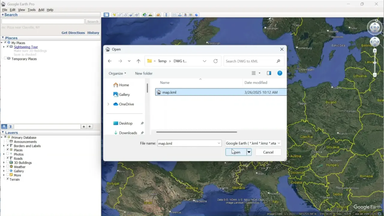
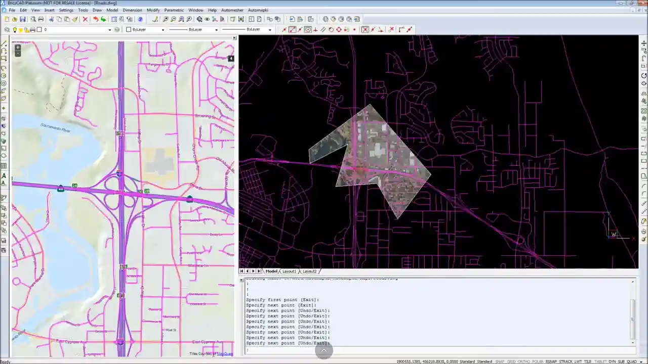
Automapki Application brings web mapping and commonly available satellite imagery to AutoCAD / BricsCAD / GstarCAD / ZWCAD base DWG editors. It allows to display your project and working area on top of your favourite WEB Maps source either Open Street Map, MapQuest, Open Topo Map, or any user defined WMS (Web Map Service) or WTS (e.g. Google Maps, Bing Maps, or Here Maps) base layers, supports over 3000 predefined coordinate systems, custom WKT (Well-Known Text) spatial reference system definitions, and can merge selected map tiles to create GeoTIFF (Geographic Tagged Image File Format) as a drawing background image. It also supports import and export of SHP (ESRI Shapefile), KML (Keyhole Markup Language), GeoJSON (GeoJSON Features Collection), GPX (GPS Exchange), and KMZ (Google Earth Placemark) map files to integrate with the other GIS platforms.
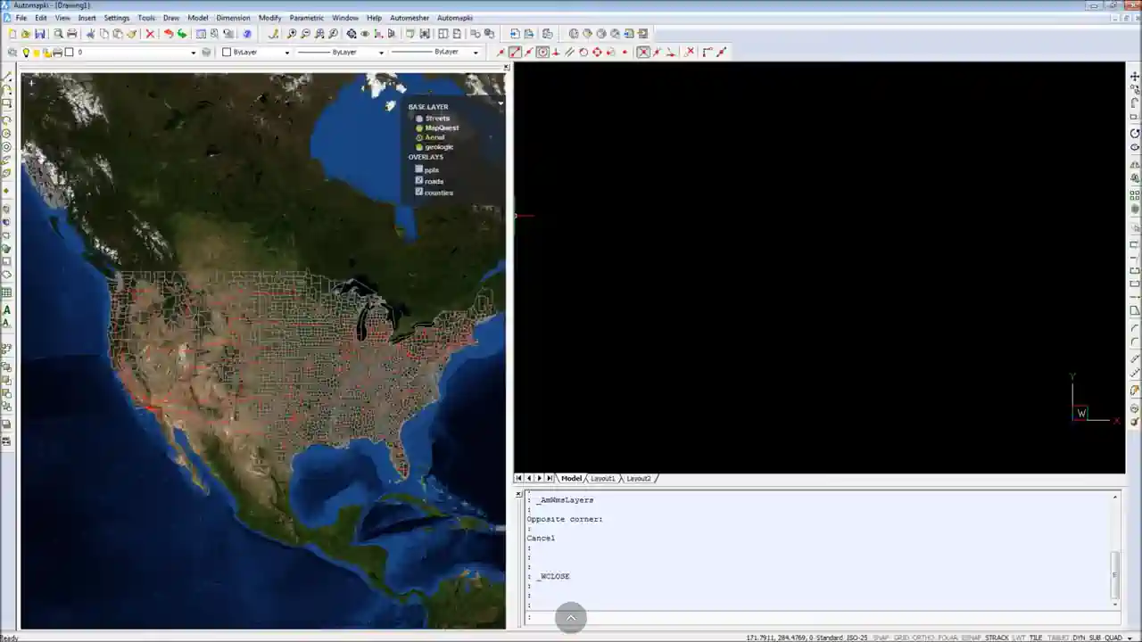
- Supports custom WMS or WTS base layers and overlays.
- Integrated with over 3000 coordinate systems.
- Customizable with WKT spatial reference definitions.
- Compatible with common web mapping systems.
- Based on advanced FDO and MapGuide technologies.
- Import and export of KML, KMZ (Google Earth), GeoJSON, GPX, and SHP map files.
- Allows to test during a fixed period of 5 days.
- Fully functional like the registered version.
- Intended for evaluation purposes only.