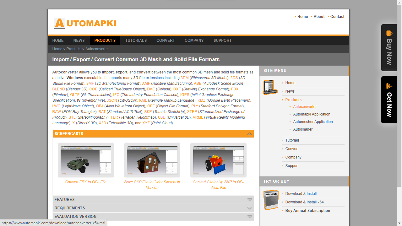
Point cloud tools - GIS software, LiDAR processing platforms, surveying pipelines, and 3D scanning applications - often require geometry as raw XYZ coordinate data rather than connected mesh faces. Converting an OBJ or other 3D mesh file to ASC (XYZ point cloud) format extracts the vertex positions from the mesh and writes them as a plain-text list of spatial coordinates, making the geometry compatible with any tool that reads point cloud data.
This guide shows how to convert OBJ to ASC / XYZ point cloud in four steps using Autoconverter. The same workflow converts STL, SKP, 3DM, STEP, DAE, and other supported formats to XYZ point cloud as well.
What Is ASC (XYZ) Point Cloud Format?
An ASC file (also written as .xyz or .asc) is a plain-text point cloud format. Each line represents one point in 3D space, containing at minimum X, Y, and Z coordinate values separated by spaces or commas. Depending on the source, lines may also include normal vector components (NX, NY, NZ), RGB color values, or intensity data:
X Y Z
X Y Z NX NY NZ
X Y Z R G B
When converting from a 3D mesh like OBJ to ASC, Autoconverter writes one XYZ line per vertex in the source mesh. The resulting point cloud represents the surface geometry of the original 3D model as a set of unconnected 3D points - with no face connectivity data, materials, or textures.
How to Convert OBJ to ASC / XYZ: Step-by-Step
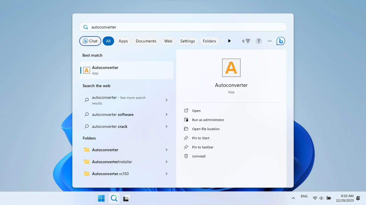
📥 Download and Install Autoconverter
Download Autoconverter and install it on Windows. Launch it from the Windows Start menu. It reads OBJ and all other supported 3D formats natively - no additional software required.
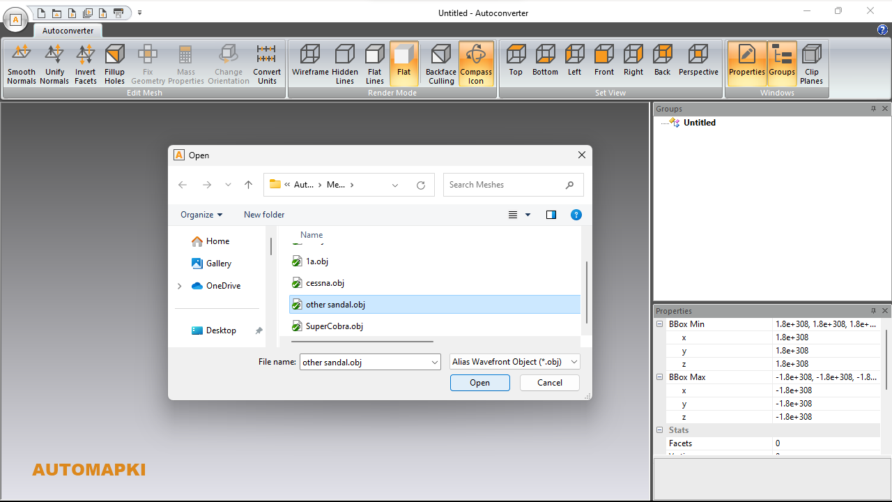
📂 Open Your OBJ File
Click Open... and select your .obj file, or drag and drop it into the application window. The mesh loads into the 3D viewport. Autoconverter also accepts STL, SKP, 3DM, DAE, FBX, STEP, PLY, IFC, and other formats as source files - the same four-step workflow applies to any of them.
Inspect the mesh before converting - the vertex count of the loaded model determines how many points will appear in the output ASC file. A high-polygon OBJ (millions of faces) will produce a dense point cloud; a low-polygon model will produce a sparse one.
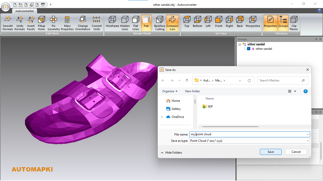
💾 Save As XYZ / ASC Format
Click Save As... and select XYZ (*.xyz or *.asc) from the file type dropdown. Both extensions produce identical content - choose the one your target application expects. Enter your output filename and destination, then click Save.
Autoconverter writes the OBJ vertex positions as a plain-text XYZ file, one coordinate triplet per line. The output is immediately compatible with any software that reads ASC/XYZ point clouds.
🚀 Import Into Your Point Cloud Application
Open the ASC or XYZ file in your target point cloud tool. Common applications that read ASC/XYZ directly include:
- CloudCompare - free open-source point cloud processing and analysis tool
- AutoCAD - use the POINTCLOUDATTACH command or import via RCS/RCP pipeline
- ArcGIS / QGIS - import XYZ point data as a feature class or point layer
- Trimble RealWorks / Leica Cyclone - LiDAR processing tools that accept ASCII point cloud input
- Recap Pro - Autodesk's point cloud platform reads ASC files for scan-to-BIM workflows
- MeshLab - open XYZ point clouds for mesh reconstruction and surface fitting
Frequently Asked Questions
-
What is the difference between ASC, XYZ, and other point cloud formats?
ASC (.asc) and XYZ (.xyz) are both plain-text point cloud formats with identical structure - they differ only in the file extension. Both contain one point per line with X, Y, Z coordinates. Other common point cloud formats include PLY (binary), LAS/LAZ (LiDAR industry standard), E57 (scanner manufacturer standard), and PTS (Leica). Autoconverter exports to ASC/XYZ; for LAS/LAZ or E57 output, dedicated point cloud processing software is typically used.
-
Can I convert formats other than OBJ to XYZ point cloud?
Yes. Any format Autoconverter can open - STL, SKP, 3DM, STEP, DAE, IFC, PLY, FBX, and others - can be exported to XYZ/ASC point cloud. The workflow is the same: open the source file, then Save As XYZ.
-
Will the point cloud include vertex normals and colors?
If the source OBJ file includes per-vertex normals or colors, Autoconverter can include them in the XYZ output. Plain XYZ only writes X Y Z coordinates; extended formats write X Y Z NX NY NZ or X Y Z R G B. Check the XYZ save parameters for available output options.
-
Is there a free trial?
Yes. The free evaluation version of Autoconverter supports up to 10 file conversions. The full licensed version provides unlimited conversions and batch processing.
Summary
Converting OBJ (or STL, SKP, STEP, DAE, IFC, or PLY) to ASC/XYZ point cloud format is a four-step process in Autoconverter - open the mesh, save as XYZ. The output is a plain-text file containing one XYZ coordinate per mesh vertex, compatible with CloudCompare, AutoCAD, ArcGIS, QGIS, Recap Pro, and all other ASC/XYZ-reading point cloud tools.
👉 Ready to convert? Download Autoconverter and try it free for up to 10 conversions.