Point cloud data from LiDAR scanners, photogrammetry software, or 3D scanning pipelines is a set of raw XYZ coordinates - spatial positions with no face connectivity. SketchUp can't open point clouds directly, and even if it could, you'd want them converted to connected mesh geometry first for modeling, rendering, and design work.
This guide shows how to convert a point cloud to mesh for SketchUp in five steps using Autoconverter, covering supported input formats, the critical normal vector requirement, mesh export options, and an optional NURBS surface step for precision modeling workflows.
What Point Cloud Formats Are Supported?
Autoconverter reads the following point cloud formats as source data for mesh conversion:
- XYZ (.xyz) - plain-text XYZ coordinates, optionally with normals or RGB colors
- ASC (.asc) - ASCII point cloud, identical structure to XYZ with a different extension
- PLY (.ply) - Polygon File Format, commonly output by 3D scanners and photogrammetry tools
- OFF (.off) - Object File Format point data
For LiDAR formats like LAS, LAZ, or E57, first convert to XYZ/ASC using a dedicated LiDAR tool (CloudCompare, LAStools, Leica Cyclone), then use Autoconverter for the mesh conversion step.
The Normal Vector Requirement
This is the most important technical detail for point cloud to mesh conversion: normal vectors are required for clean mesh output.
A normal vector is a direction vector associated with each point that indicates which way the surface faces at that location. Without normals, the mesh reconstruction algorithm cannot determine surface orientation - the result is typically incorrect triangulation, inverted faces, or unusable geometry.
If the XYZ/ASC file has 6 values per line (X Y Z NX NY NZ), it includes normals - conversion will work well.
How to Convert Point Cloud to Mesh for SketchUp: Step-by-Step
📥 Download and Install Autoconverter
Download Autoconverter and install it on Windows. Launch it from the Windows Start menu.
📂 Open Your Point Cloud File
Click Open... and select your .xyz, .asc, or .ply file. Autoconverter reads the point coordinates and, if present, the normal vectors. The point cloud loads into the 3D viewport - you should see a cloud of points representing the scanned surface.
For large point clouds (millions of points), Autoconverter may sample the data for preview display but will use the full dataset for mesh generation and export.
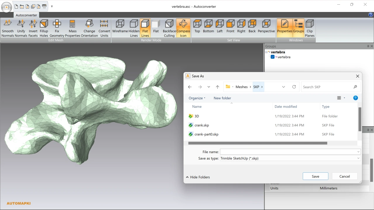
💾 Export as SketchUp SKP
Click Save As... and select SketchUp (*.skp) from the format dropdown. Choose the target SKP version to match your SketchUp installation and click Save. Autoconverter reconstructs a mesh from the point cloud using the normal vectors for surface orientation, then saves it as a native SKP file.
🔧 Open and Refine in SketchUp
Open the exported SKP file in SketchUp. The point cloud geometry is now a polygon mesh - select objects, apply materials, clean up stray edges, and use SketchUp's standard tools for modeling, grouping, and presentation preparation. For scan-to-BIM workflows, use the mesh as a reference geometry to trace over when modeling building components.
🔄 Convert to NURBS Surfaces (Optional)
For workflows that require smooth, editable NURBS surfaces rather than polygon mesh - precision industrial design, CAD documentation, or fabrication preparation - use Autoshaper to convert the mesh to a NURBS surface after the initial mesh conversion. The resulting NURBS model can be exported to STEP, IGES, or 3DM for use in Rhino, SolidWorks, or other CAD tools.
Frequently Asked Questions
-
Why does my point cloud convert to a messy or inverted mesh?
This is almost always caused by missing or incorrect normal vectors. Ensure your XYZ/ASC file includes per-point normal vectors (NX NY NZ) before converting. If your file only has X Y Z coordinates, compute normals first using CloudCompare (Edit > Normals > Compute) and re-export the XYZ file with normals included.
-
Can I convert LiDAR LAS or LAZ files to SketchUp?
Not directly - Autoconverter reads XYZ/ASC and PLY point cloud formats. For LAS/LAZ input, first convert to XYZ using CloudCompare, LAStools, or another LiDAR tool, then use Autoconverter for the mesh-to-SKP step.
-
How dense should the point cloud be for good mesh output?
For architectural surfaces, a point spacing of 5–20mm typically produces usable mesh geometry. Very sparse point clouds produce coarse mesh with visible triangulation artifacts; extremely dense point clouds (sub-mm spacing) may produce very large output files. Down-sampling dense clouds to a consistent spacing in CloudCompare before conversion often improves both mesh quality and file size.
-
Is there a free trial?
Yes. The free evaluation version of Autoconverter supports up to 10 file conversions. The full licensed version provides unlimited conversions and batch processing.
Summary
Converting point cloud data to mesh for SketchUp requires a point cloud file with per-point normal vectors - without normals, mesh reconstruction produces unusable geometry. Autoconverter handles the conversion from XYZ/ASC/PLY to SKP, OBJ, STL, and other formats in four steps. For precision surfaces, Autoshaper converts the mesh output to NURBS for export to CAD tools.
👉 Ready to convert? Download Autoconverter and try it free for up to 10 conversions.