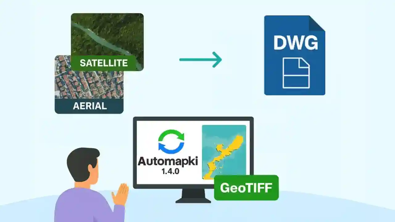
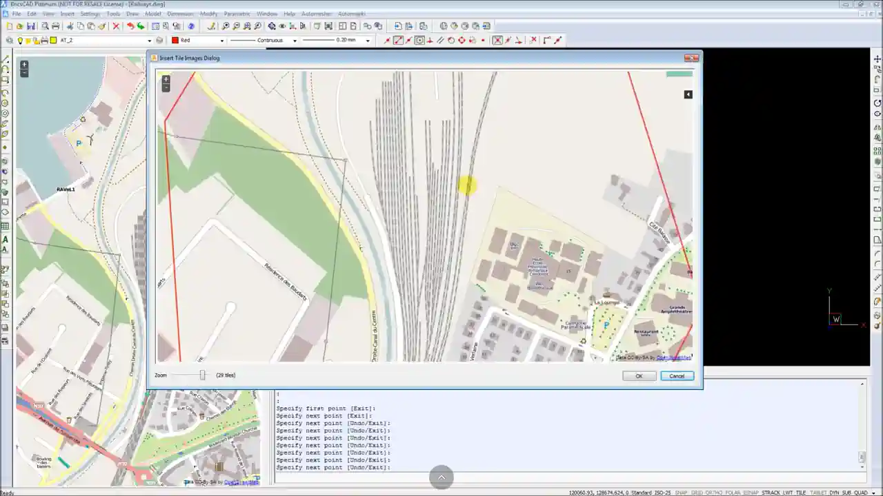
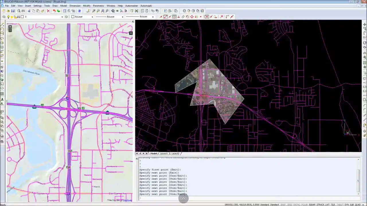
The latest Automapki Application update (version 1.4.0) brings powerful new mapping features, including the ability to insert satellite or aerial map tiles into DWG files. This enables AutoCAD, BricsCAD, GstarCAD, and ZWCAD users to add accurate and visually rich background images to CAD drawings, overlaying design elements on real-world geospatial data.

Insert Satellite Map Tiles into DWG Drawings
Supported web map sources include:
- MapQuest - Detailed satellite and street maps
- Open Aerial - High-resolution aerial photography
- OpenStreetMap - User-generated cartographic data
With Automapki, CAD professionals can draw directly on top of aerial imagery inside their DWG editor. This enhances context and precision, especially in urban planning, infrastructure development, or landscape design workflows.
Save and Reuse Satellite Imagery as GeoTIFF in DWG Projects
Automapki makes it easy to create and insert GeoTIFF images from satellite maps in your DWG files:
- Downloads overlapping web map tiles from the selected map source.
- Merges and georeferences tiles into one aligned image using the active coordinate system.
- Inserts a GeoTIFF background directly into the model space of your drawing.
The final GeoTIFF file is stored locally for reuse across multiple CAD drawings, enabling consistent and efficient project workflows.
System Requirements and Map Tile Limits in Automapki
While web map tile downloads are fast, the process of merging them into a high-resolution GeoTIFF can be demanding. Performance depends on:
- 💾 RAM capacity - Higher memory ensures smoother tile merging.
- 🧠 CPU power - Faster processors accelerate image rendering.
- 📁 Disk performance - Quick I/O helps when saving large image files.
To maintain performance, Automapki limits the final image to 400 tiles, though you can attach multiple image layers to a single DWG drawing without restrictions.
Coming Soon: Support for Custom WMS Background Maps
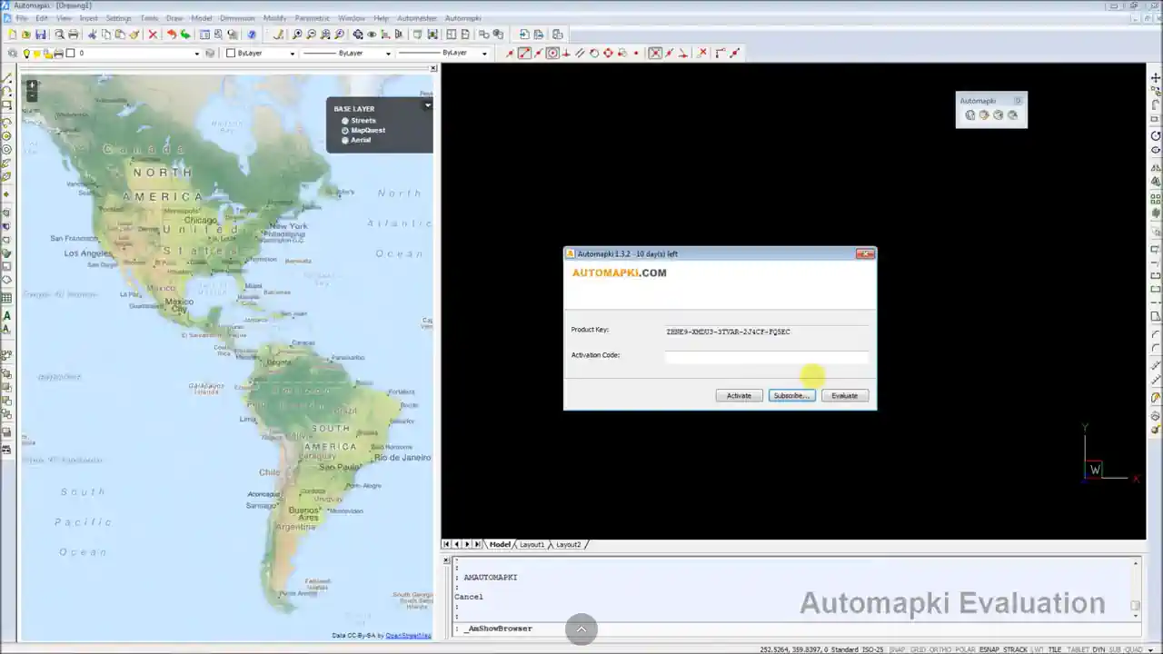
The current version of Automapki 1.4.0 is available as a free 5-day trial for AutoCAD, BricsCAD, GstarCAD, and ZWCAD. The next update will add support for custom WMS (Web Map Service) layers, providing even more control over your background imagery in DWG-based CAD environments.
👉 Start your free trial today and bring real-world satellite imagery into your DWG workflows with Automapki!


